
Description
Albaicín walking route from the bottom up: Plaza Nueva, Darro, San Miguel Bajo, Carvajales and San Nicolás. Short variant if the hills bite.
- Duration
- 3h
- Distance
- 3.6km
- Difficulty
- Moderate
- Best time to visit
- Afternoon
The itinerary
Plaza Nueva and Carrera del Darro
Start at Plaza Nueva and use Carrera del Darro as the transition from the centre to the Albaicín. Do not try to see everything here: save energy for the climbs.
Cuesta del Chapiz and inner lanes
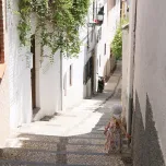
Climb slowly and choose shaded lanes in hot weather. This is the physical section: there is no single “right” street, but keeping a clear direction toward San Miguel Bajo helps.
San Miguel Bajo Square
Pause in this square before carrying on. It is a useful orientation point and the place to decide whether to take the short variant to San Nicolás or add Carvajales.
Carvajales Viewpoint
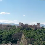
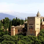
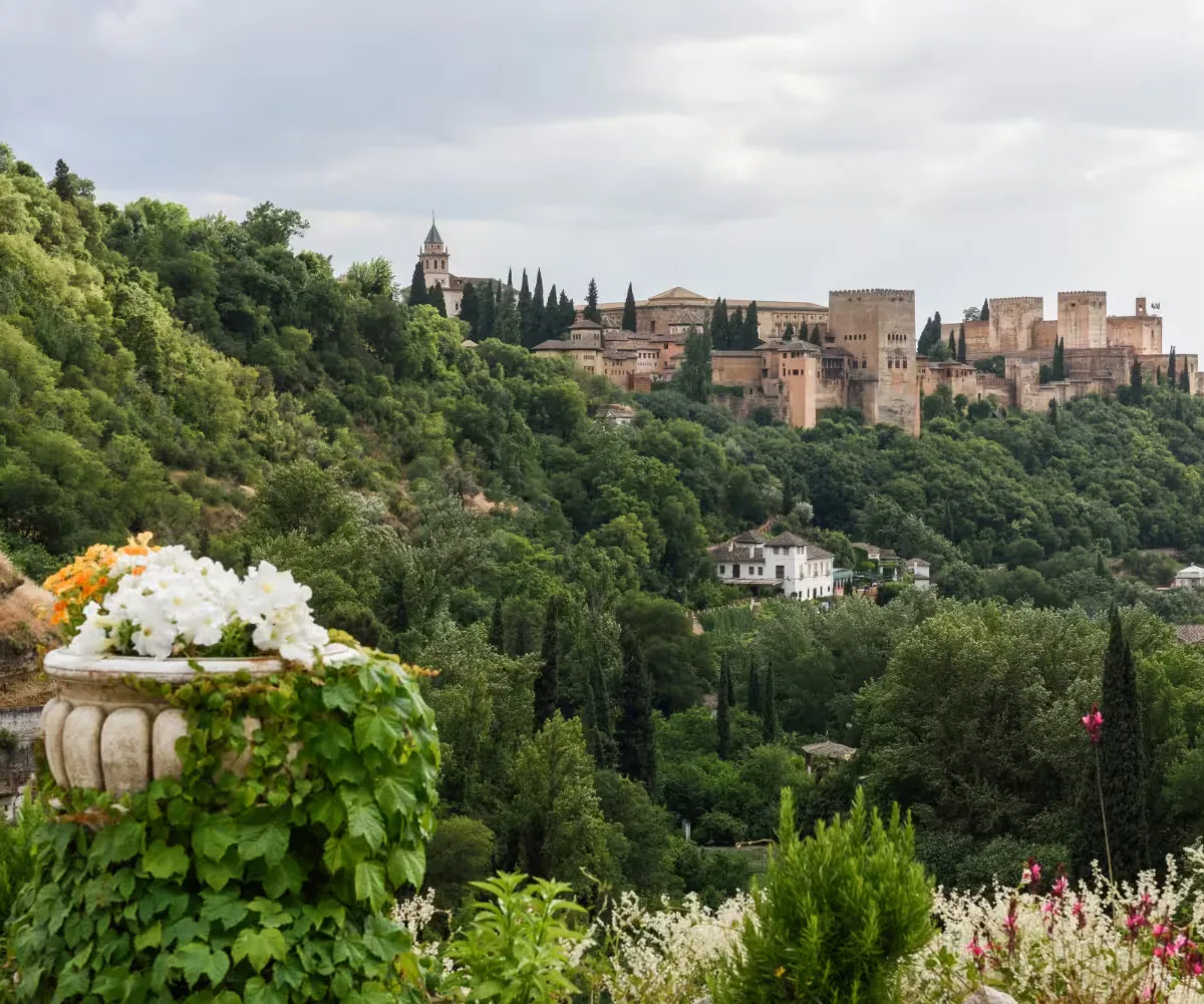
A small stop with an Alhambra view. It does not need to be the finale: link it with San Nicolás so the route keeps its rhythm.
San Nicolás Viewpoint
The busiest stop. Arrive early at sunset, but do not hold up the itinerary waiting for a photograph: the route works well at other times too.
Descent to the Darro
Descend toward Paseo de los Tristes and Plaza Nueva to finish in the centre. This avoids retracing every climb and lets you continue with tapas or the Sacromonte route.
Local tips
Short variant
If you have under two hours, climb directly from Plaza Nueva to San Nicolás and descend via Paseo de los Tristes. You keep the main goal without forcing every stop.
Hills and cobblestones
The distance can be deceptive: there is gradient and uneven paving. Wear grippy shoes, carry water in warm months and avoid pushing a stroller along the narrowest variants.
Route information
Starting point
Plaza Nueva, beside Carrera del Darro.
Ending point
Plaza Nueva, after descending via Paseo de los Tristes.
How to get there
The start is in the city centre and is walkable. If arriving by car, do not drive into the Albaicín: use central parking and continue on foot.
Estimated budget
Free; add transport or drinks only if you include them at the end.
Who is it for
First-time visitors, travellers who want to get oriented on foot, and people interested in viewpoints and neighbourhood life.
Accessibility
It is not a wheelchair-accessible route because of gradient, steps and cobbles. Choose Carrera del Darro and Plaza Nueva for a flatter alternative.
Best time to visit
A cool morning or late afternoon. For San Nicolás at sunset, allow extra time for crowds.