
Description
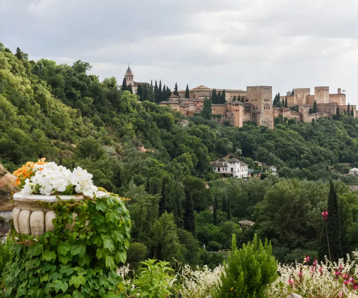
A complete itinerary between the Albaicín and Sacromonte: Darro, Chapiz, caves, viewpoints and a return to Plaza Nueva. A neighbourhood-and-landscape route, not a disconnected list of places.
- Duration
- 4h
- Distance
- 5.2km
- Difficulty
- Moderate
- Best time to visit
- Afternoon
The itinerary
Plaza Nueva and Carrera del Darro
Start low so the climb has a clear logic. Follow the Darro toward Paseo de los Tristes before taking Cuesta del Chapiz.
Cuesta del Chapiz and upper Albaicín
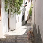
This stretch connects scenery and domestic architecture. Keep an easy pace: the route gains height before opening toward Sacromonte.
Camino del Sacromonte
Walk along the main cave district axis while respecting private entrances. This is a living neighbourhood: do not treat the caves as scenery and allow time to stop.
Viewpoint and Abbey surroundings
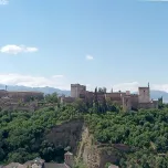
Add this stretch only if you have time and energy. Abbey access needs checking in advance; the route can finish earlier without losing its coherence.
Return via the Darro
Return toward Paseo de los Tristes and Plaza Nueva. The descent lets you finish with tapas in the centre or continue to a booked evening visit.
Local tips
Do not add a show without a booking
The physical route works on its own. If you want to end it with flamenco, choose and book the venue before heading up; times, prices and conditions change.
Afternoon route
Start with enough daylight for the climbs and allow time for the descent before dark if you do not know the district. Carry water and a light layer.
Route information
Starting point
Plaza Nueva.
Ending point
Plaza Nueva, via Paseo de los Tristes.
How to get there
Start on foot in the centre. To avoid the initial climb, you can take local transport to the Albaicín and adapt the first stretch.
Estimated budget
Free as a walking route. Visits and shows are optional and should be checked separately.
Who is it for
Anyone who wants to understand the relationship between the two districts on foot, with time and readiness for hills.
Accessibility
Not suitable for wheelchairs or strollers because of irregular paving, gradient and narrow sections.
Best time to visit
Afternoon in mild months. In summer, avoid the uphill stretch in the middle of the day.